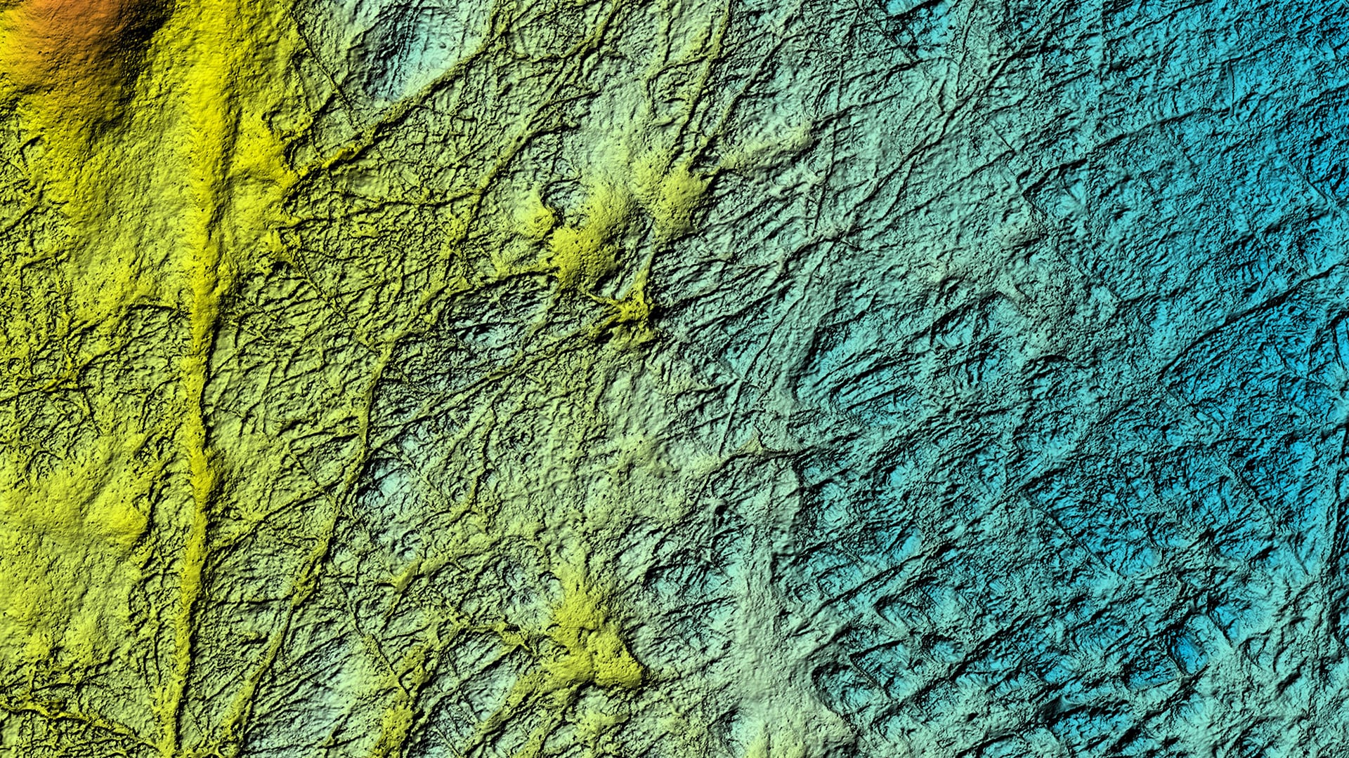
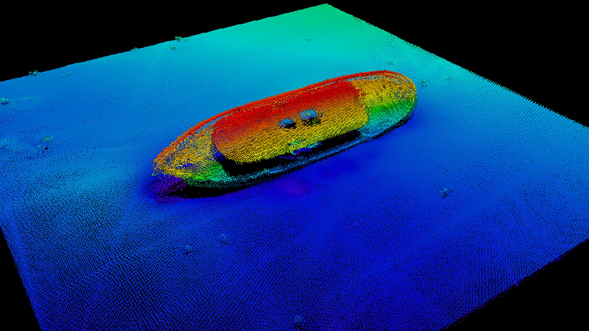
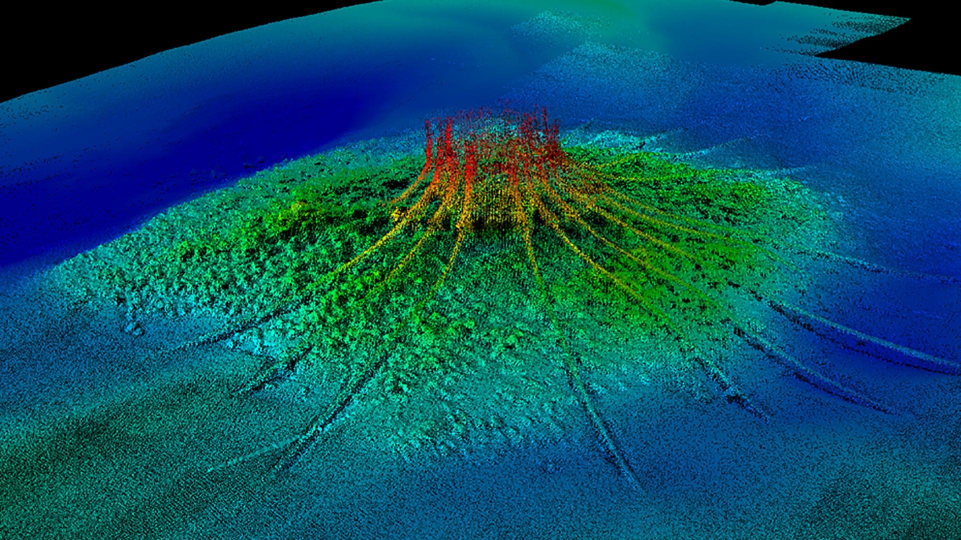
- a bathymetric multibeam echosounder for mapping the relief and morphology of the ocean floor,
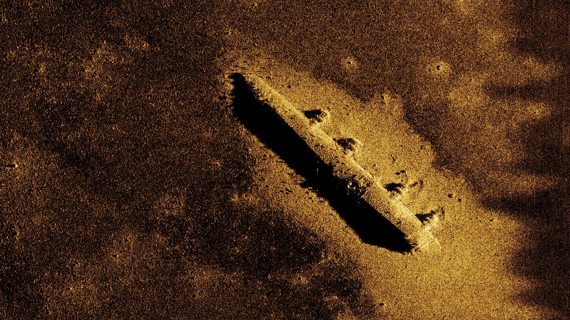
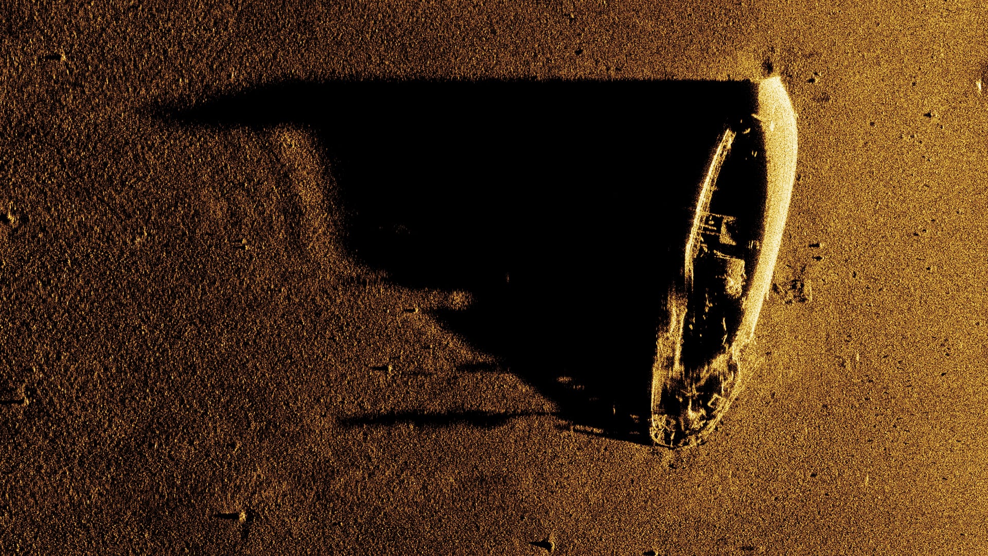
- a side scan sonar (or a synthetic aperture sonar on some vehicles) for producing images of the nature of the seabed and detecting objects,
- a sediment echosounder for sub-bottom geological profiling,
A sensor for everything
Our AUVs are equipped with onboard measurement instrumentation designed to meet various underwater mapping requirements.
We use non-intrusive acoustic, optical and physico-chemical sensors.
This equipment provides technical and environmental data used to describe the characteristics of the deep ocean floor and the water column, and includes:
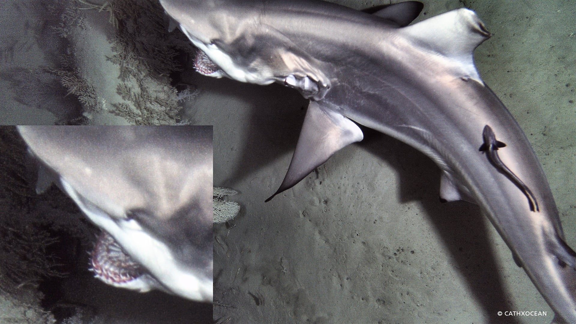
- a digital camera (or a video camera on some vehicles) for taking very high resolution images of the seabed,
- a magnetometer for detecting anomalies in the magnetic profile,
- a multi-parameter environmental probe for characterising the physical and chemical parameters of the water column. Different sensors can be installed on the probe as required (temperature, conductivity, depth, dissolved oxygen, pH, turbidity, methane, redox potential, etc.),
- an ADCP (Acoustic Doppler Current Profiler) for characterising currents.
The data collected
The data collected and interpreted by our teams can then be used to produce maps showing the characteristics of the ocean floor (morphology, nature of the sea bottom, sub-surface geology), to detect objects and describe the water column (hydrodynamic, physical and chemical parameters).
