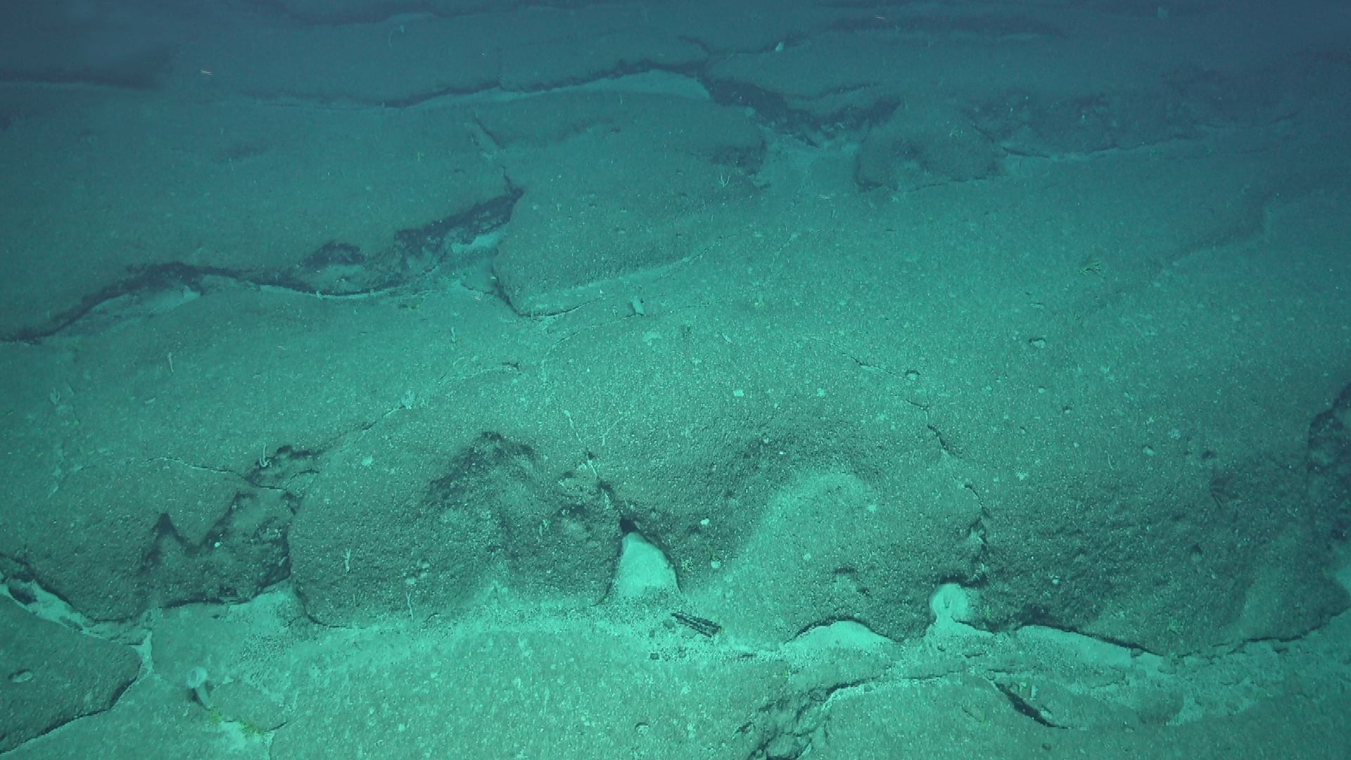
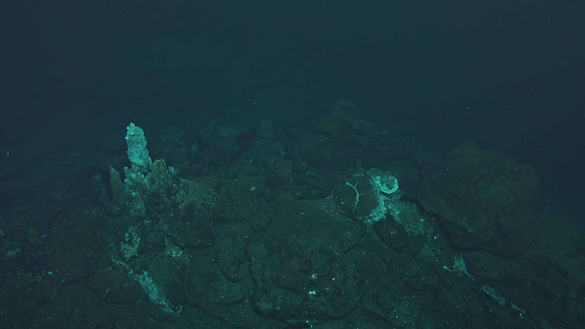
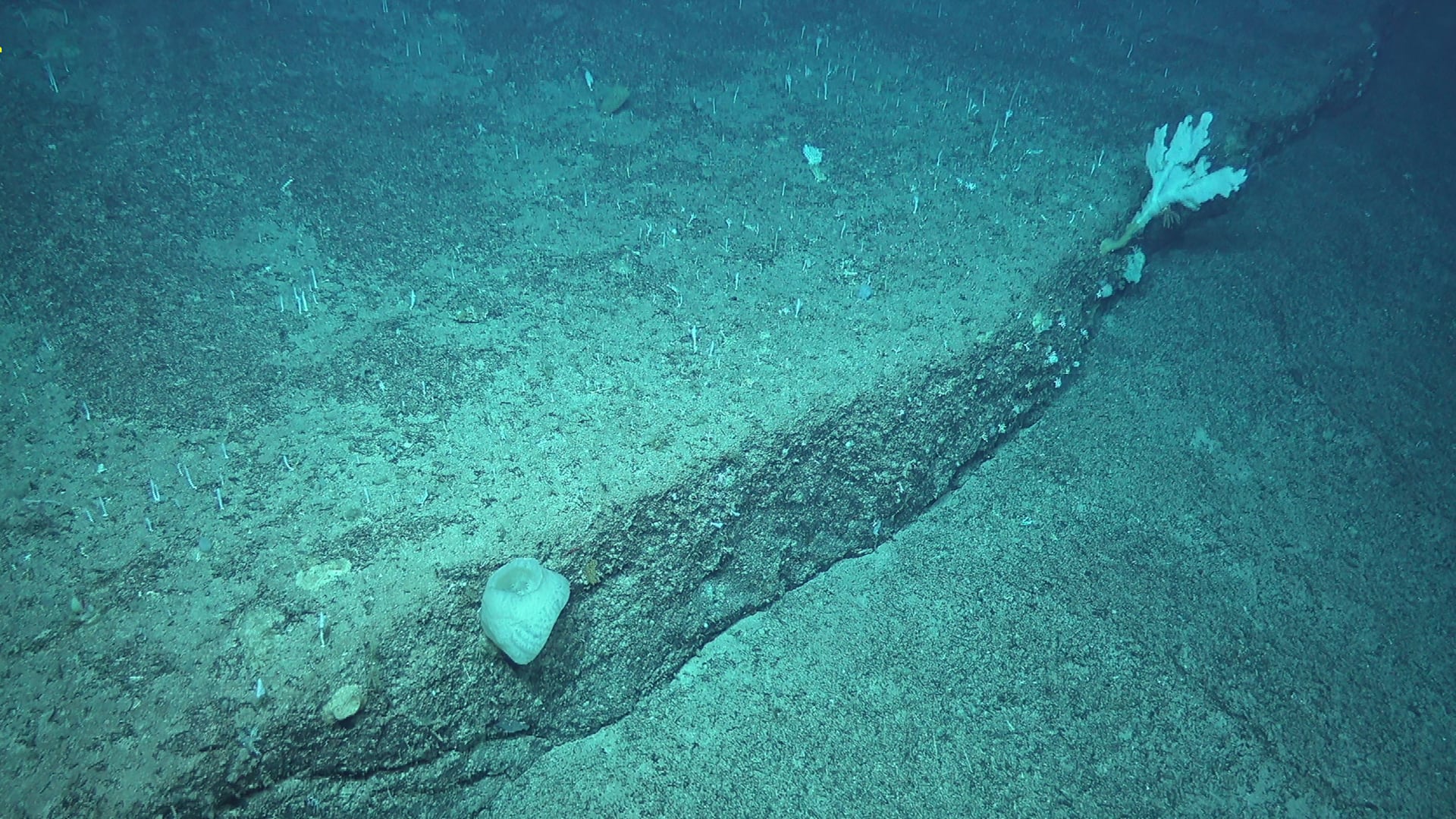
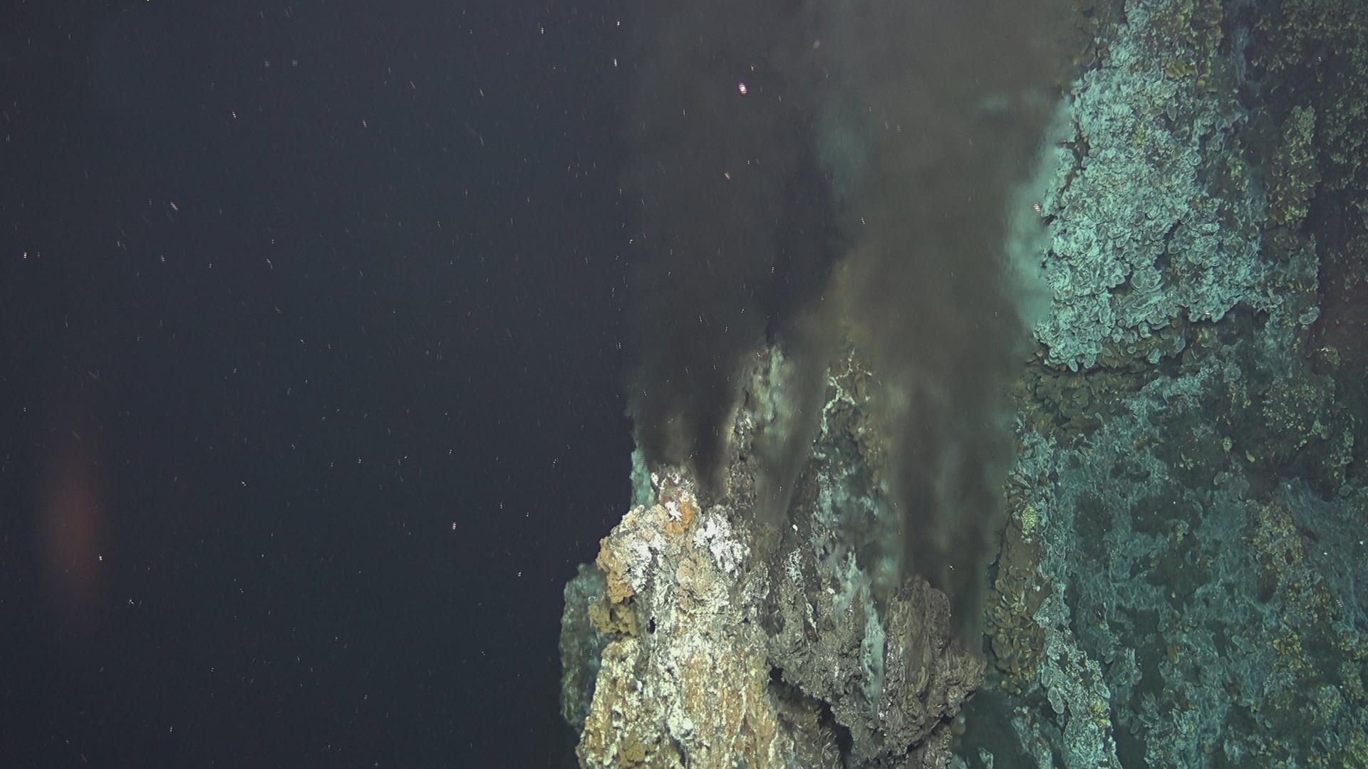
This may include (non-exhaustive list):
- Locating and assessing the potential and the nature of resources and deposits (topo-bathymetry, substrate, hydrology, typology of mineral resources, etc.)
- Assesing the richness and sensitivity of ecosystems (topo-bathymetry, major ecosystems, specific biodiversity, hydrology, currents and water-column density, etc.)
- Monitoring climate change: (carbon capture and transfer, recycling organic matter, hydrology (pH), currents and water-column density, flow, etc.)
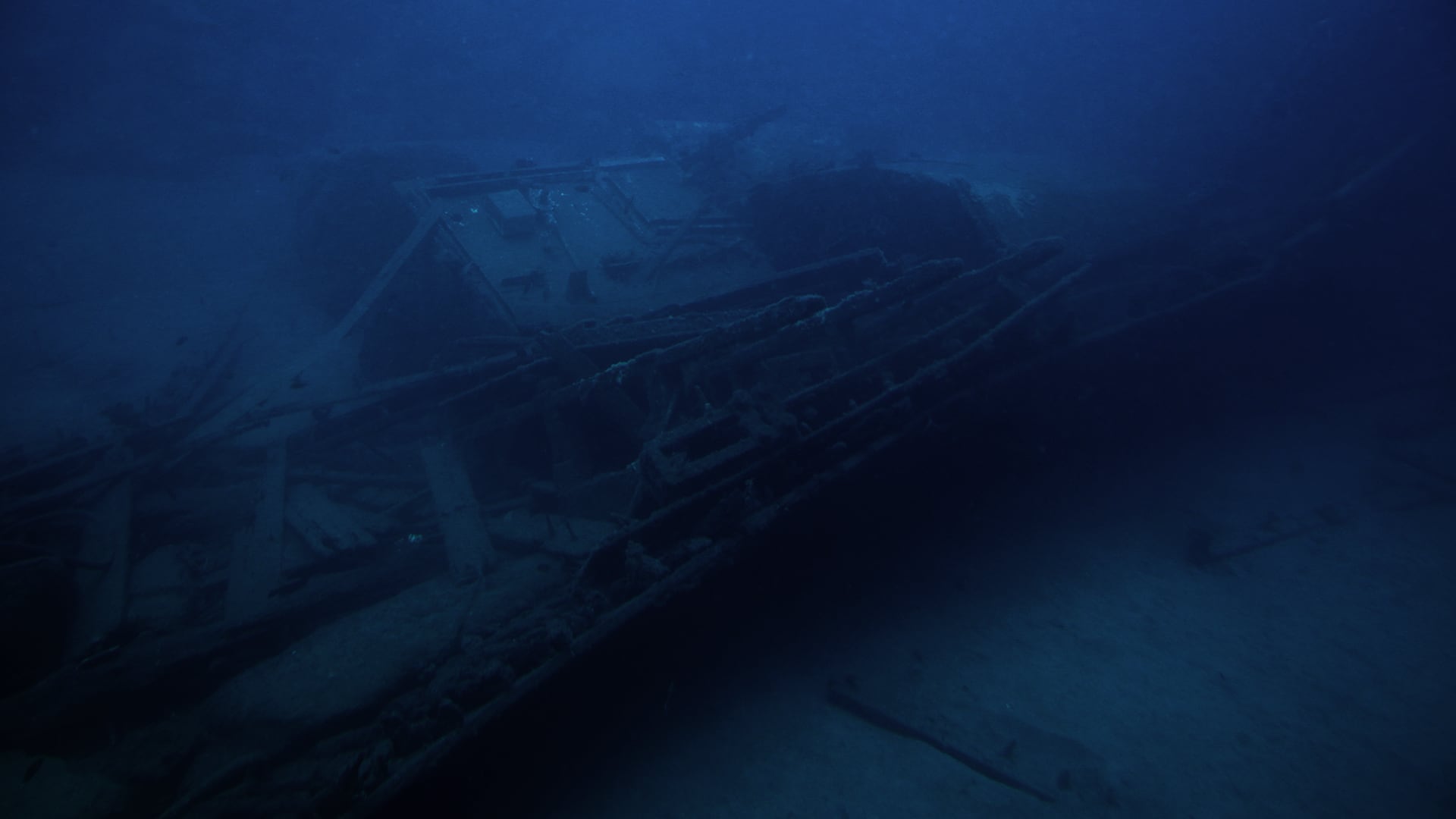
- Locating and characterising underwater objects (topo-bathymetry, magnetometry, imaging, etc.)
